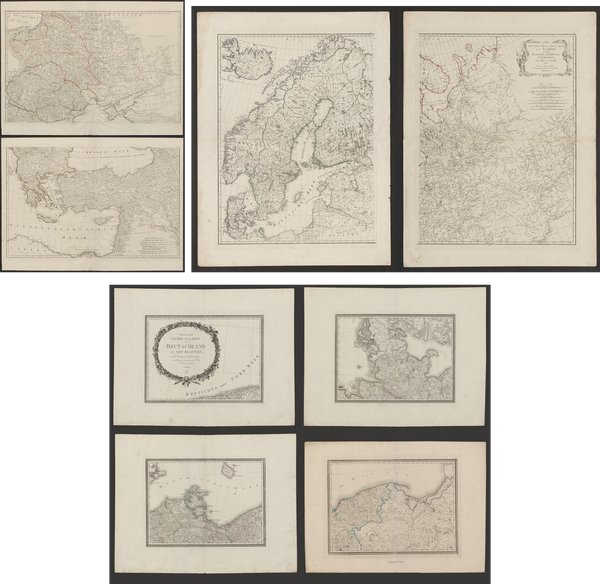
Karte von England und Wallis
Map Maker/Publisher/Engraver: Franz Anton Schraembl
Place/Date: Vienna / 1787
Size: Each one 56,5 x 67 cm
This wall map consists of four sheets, unjoined, depicting England and Wales in great detail, and is a revised German version of Kitchin’s map from 1777. The large decorative, title cartouche bears the form of a monument surrounded by a vignette by F. Muller after C. Schutz. The monument is topped by Britain’s Royal Coat of Arms, and surrounded by symbols of British trade, commerce and military strength. The map shows towns, roads, political boundaries and topography, and includes a legend to the symbols depicted on the map. The map also features an inset map of the Isles of Scilly, a compass rose and distance scales in English and German miles.