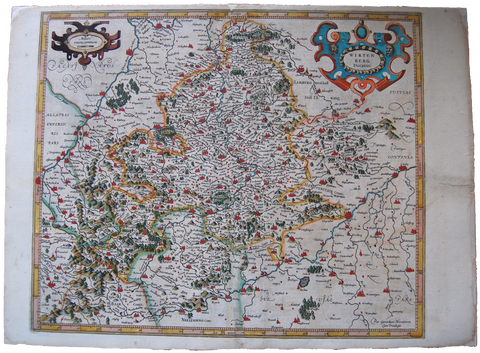
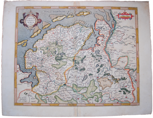
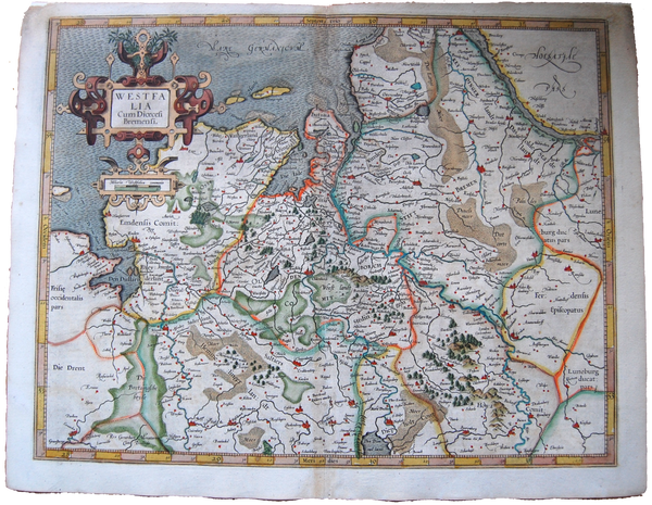
Germany Antique Original Mercator Map Württemberg ducatus Deutschland Landkarte
Original Title: Wirtenberg ducatus
Map Maker/Publisher/Engraver: Gerard Mercator; Henricus Hondius
Place/Date: 1623 / Amsterdam
Size: ~ 33.5 x 41.5 cm
An attractive early map of German region, embellished with a fine title-cartouche. Latin text on the verso describes this area.
From "Atlas sive cosmographicae meditationes de fabrica mundi et fabricati figura"; Editio Quinta; 1623 in Amsterdam.
Jodocus Hondius (1563-1612), founder of the Hondius publishing house, acquired the plates of Mercator's Atlas from his family. First edition published by Hondius family issued in 1606.
Gerard Mercator (1512-1594) was one of the most famous geographers of his time. He was renowned as a scholar in his day, and his name is known to this day as the inventor of the map projections named after him. His maps are known for their precise geographic information and for their attention to detail. All of his maps are finely engraving, mostly by Mercator or by one of his family members. He worked initially from Leuven, Flanders, but then from Duisberg in Germany. Around 1563, Mercator became cosmographer to Duke William V of Julich in Germany.
As the cosmographer, he began the writing of a Cosmography intended to cover, in five volumes, the entire known world. As Mercator was involved in all aspects of the time-consuming Cosmography, from writing the text, drawing the maps, and engraving the copperplates, the atlas was not finished in his lifetime and only sections were finished and published before his death. His son, Rumold, along with other family members finished the various parts and published the final product, including previously published parts, as the Atlas Sive Cosmographicae... in 1595.

